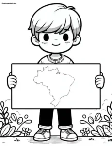
Browse our collection and choose the designs that interest you most. Then, simply print them out. It’s that easy! Share the joy of coloring with friends and family or use the designs as a creative way to relax.
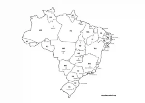
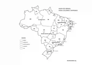
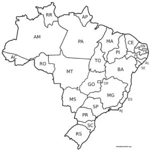
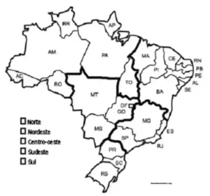
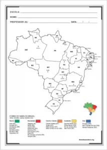
The map of Brazil is much more than a drawing with lines and state names—it’s a portrait full of life, culture, and diversity. From north to south, every little piece of our country has a history, an accent, typical food, a unique way of celebrating life. Have you noticed how immense Brazil is? There are 26 states and the Federal District, forming a territory that embraces paradisiacal beaches, giant forests, vibrant cities, and many welcoming people.
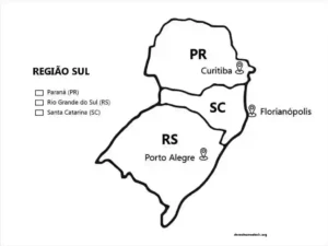
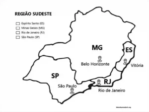
Exploring the map is almost like taking a magical trip: you can “visit” the Amazon in the north, feel the heat of the northeastern hinterland, be charmed by the allure of the south, or enjoy the hustle and bustle of the southeastern capitals. It’s an incredible opportunity to learn geography in a fun way and, as a bonus, awaken that pride in being Brazilian.
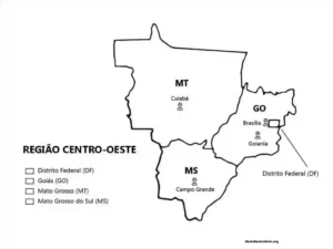
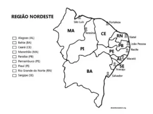
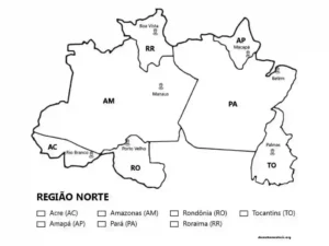
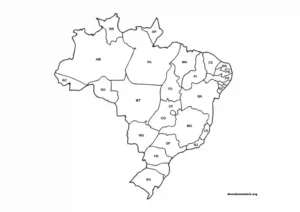
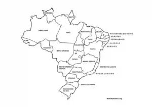
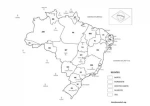
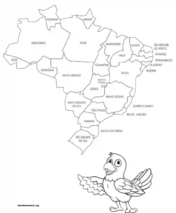
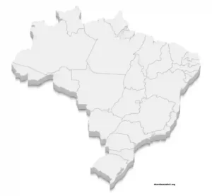
And here on the site you’ll find several map templates of Brazil to print and color — all for free! There are maps with state divisions, names of capitals, regional symbols, and even cultural elements to make it even more fun. How about coloring your state with your favorite colors? Or creating a rainbow across the entire country?
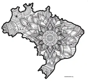
Coloring a map of Brazil is more than just painting—it’s connecting with this land full of colors, sounds, and flavors. Ready to discover Brazil with a pencil in hand and an open heart?